SatSense was founded in 2018 at the University of Leeds by Professors Tim Wright and Andy Hooper - two of the world’s leading geodesy scientists - building on decades of combined algorithm development.
Their aim was straightforward: take InSAR technology that was once only available to governments and space agencies, and make it accurate, affordable and accessible.
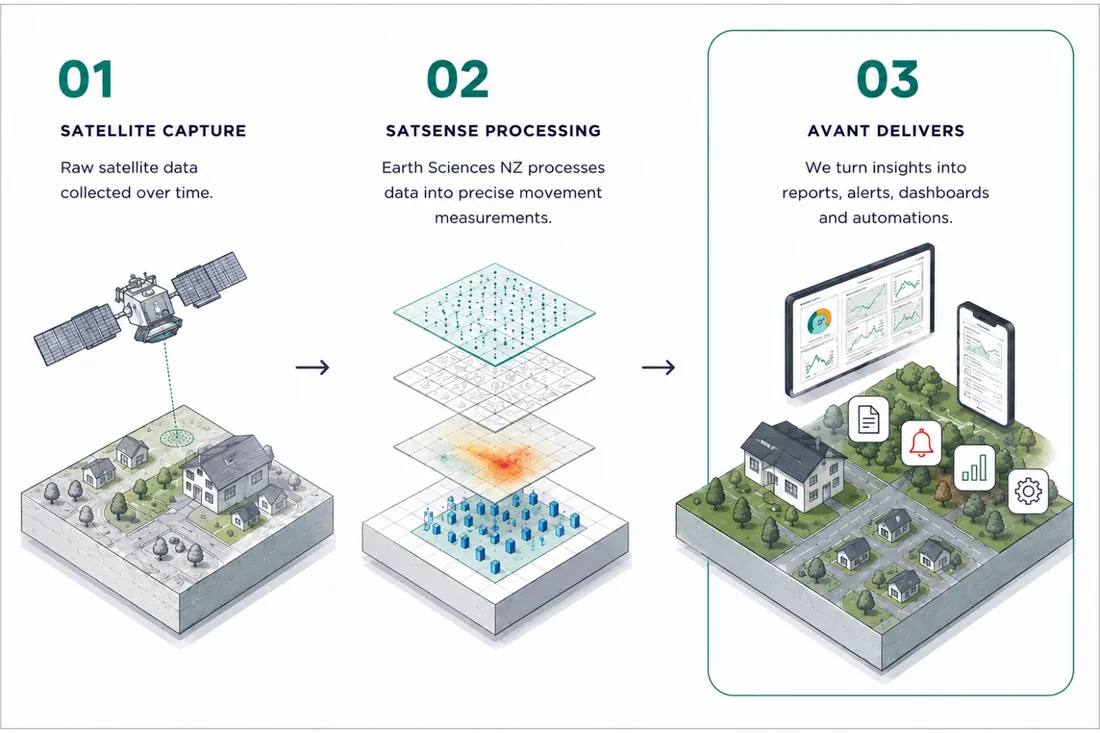
SatSense’s technology is now embedded in New Zealand’s national-scale land movement mapping. Working in partnership with Earth Sciences New Zealand (formerly GNS Science) - the Crown research institute responsible for geohazard science - they have built comprehensive ground motion datasets covering the entire country. This work supports Earth Sciences NZ’s public-good research into landslides, subsidence and other geohazards.
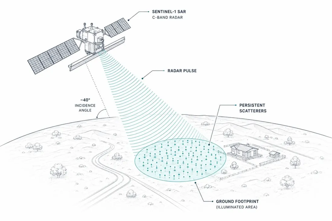
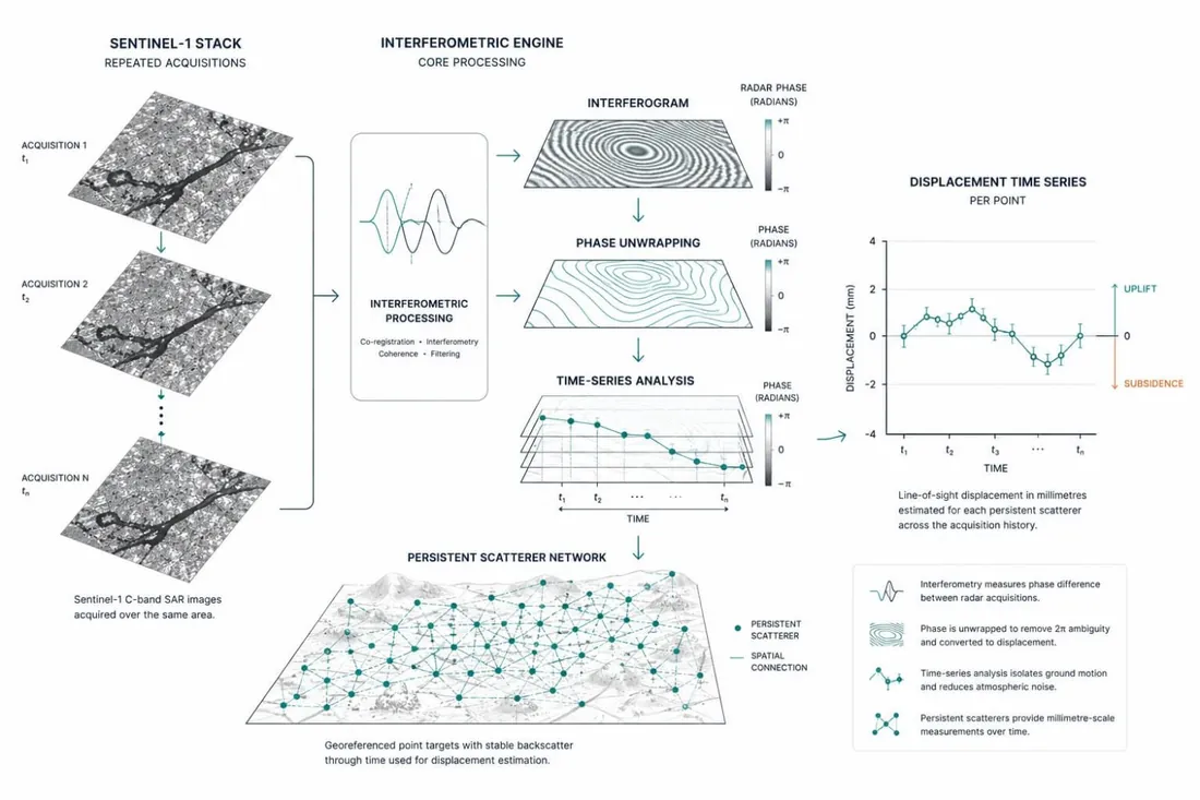
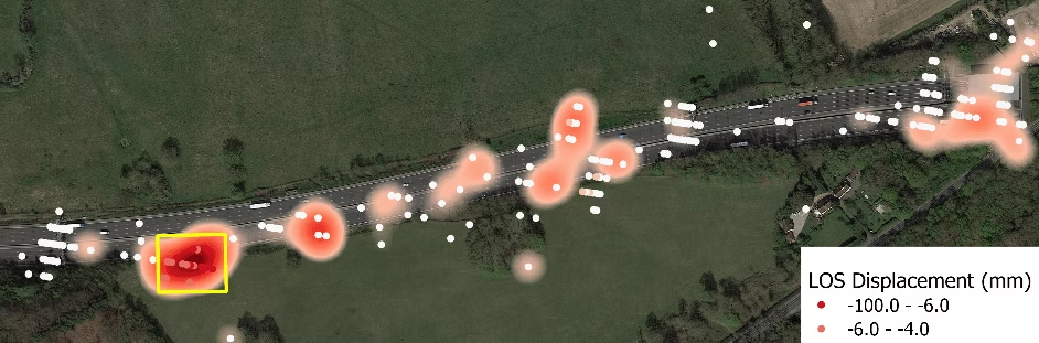
The monitoring starts with the European Space Agency’s Sentinel-1 C-band radar, which revisits the same ground every 6-12 days and measures both vertical and horizontal displacement to within ±2-5mm/yr. Proprietary algorithms reduce noise and extract movement trends from archives dating back to 2014 - detecting not just movement, but changes in its rate, before damage becomes visible.